Click Here for Asset Management and Survey and Mapping Contact Information
Katia Delgado
Asset Management
Phone: (863) 535-2200
Email: KatiaDelgado@polk-county.net
Richard Noland
Survey & Mapping Manager
Phone: (863) 535-2200
Email: RichardNoland@polk-county.net
Street Address:
3000 Sheffield Road
Winter Haven, FL 33880
Office Hours of Operation:
Monday through Friday
8 a.m. to 5 p.m.
What is Asset Management?
Assets are anything with actual or potential value to an organization. Asset Management is an organization’s actions of managing assets over a period of time in order to deliver the agreed Levels of Service and Performance Targets in the most cost-effective way.
Our mission is to practice and promote good stewardship through best practices of Asset Management in support of the county and Roads and Drainage Division missions.
The Asset Management section is comprised of GIS professionals and asset field inspectors or technicians whose responsibilities include: 
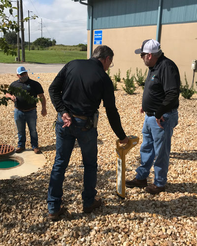
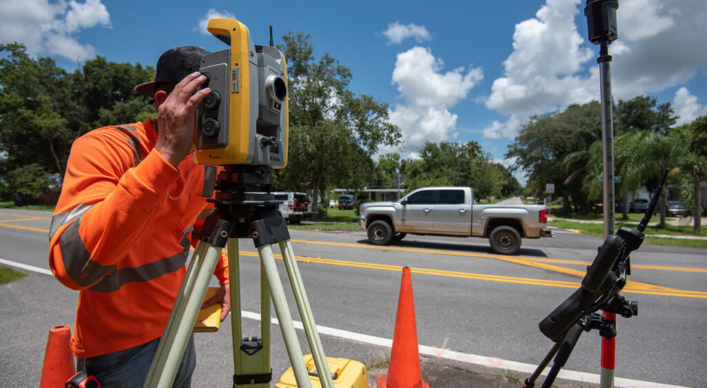
- Asset data collection: Using survey precision electronic instruments, AM technicians collect new and existing infrastructure throughout the county such as roads, sidewalks, inlets, drainage pipes, ponds, etc.
- Asset condition inspections: AM technicians perform periodic condition assessment inspections of most assets, except for bridges, traffic signs and signals. This information is used by staff to establish maintenance needs.
- Damage Assessments: After a disaster event, such as a tornado, hurricane, sinkhole, etc., AM techs help conduct post-event damage assessments. GIS personnel assist providing GIS dashboards to relay the information to county officials and the public.
- Maintenance of the Roads and Drainage GIS Viewer: GIS staff is responsible for the maintenance and enhancements of the Roads and Drainage GIS Viewer that is used by county staff and the public.
Click here to access Road Inventory
Survey and Mapping
 We provide accurate and precise professional surveying and mapping services in an efficient, professional and timely manner.
The Survey and Mapping section uses in-house professionals and technicians to provide services and support for the Roads and Drainage Division, Capital Improvement Projects (CIP), Real Estate program, Parks and Natural Resources, Facilities Management and other county divisions.
One of our major functions is to support our Engineering Section by retracing existing right-of-way boundaries, describing new right-of-way boundaries and surveying existing topographic features. That survey data is mapped by one of our mapping specialists so that the limits and features can be used for the design and/or acquisition needed of our infrastructure projects. It is important to note that the Surveying and Mapping section does not provide private surveying and mapping services.
Benchmarks
We continue the densification process of the North American Vertical Datum of 1988 benchmark system in Polk County for public use. Our benchmark system is used as a source of reference to Florida Surveyors and Mappers in the course of providing private surveys for the public, as well as our ability to provide efficient topographic data for design projects. To access county survey data, go to our Polk County GIS Viewer and activate the Surveyor Data layer.
Are Surveyors allowed on private property?
Yes, to perform their work, our survey crews may need to access property outside of the county’s right-of-way. Florida Statute 337.274 states “Surveyors and mappers or their subordinates may go on, over, and upon the lands of others when necessary to make surveys and maps or locate or set monuments, and, in so doing, may carry with them their agents and employees necessary for that purpose. Entry under the right granted by this subsection does not constitute trespass, and surveyors and mappers and their duly authorized agents or employees so entering are not liable to arrest or to a civil action by reason of such entry; however, this subsection does not give authority to registrants, subordinates, agents, or employees to destroy, injure, damage, or move any physical improvements on lands of another without the written permission of the landowner.”